
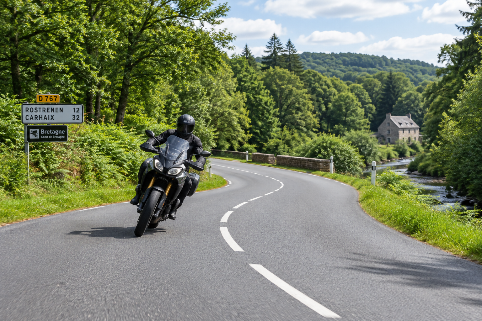
22 Epic Motorcycle Routes in Brittany
From towering coastal fortresses to quiet inland twists, Brittany was made for motorcycles. Here is our ultimate library of loop routes, grouped by region, all starting and ending right here at Burlaouen.
🏍️ The Burlaouen Rider's Briefing
- The Golden Rule of French Lunch: Restaurants in France serve lunch strictly between 12:00 PM and 2:00 PM. If you arrive at 1:45 PM, you will likely be turned away.
- Where to Eat: Look out for Relais Routiers (truck stops with excellent, hearty multi-course meals) or traditional Crêperies.
- Island Routes: Many routes lead to car-free islands (Bréhat, Batz, Ouessant, Belle-Île). These routes guide you to the ferry ports where you can securely park your bike and take a passenger boat over for the afternoon.
- The Maps: All links below open a pre-planned A-to-B-to-A loop in Google Maps. You can easily drag the route lines if you want to take a detour!
Northern Brittany
1. Saint-Malo & The Corsair Coast
A fast ride up to the historic walled city of Saint-Malo. Walk the stone ramparts that surround the old town, famous for its dramatic high tides and corsair history.
Food & Drink Tips
Intra-Muros (inside the walls) has endless seafood options. For a quieter meal, park by the port in Saint-Servan on your way out.
Open Loop in Google Maps2. Medieval Dinan & The Rance River
Ride to Dinan, one of the finest medieval towns in France. Wander the steep, cobbled Rue du Jerzual down to the picturesque river port.
Food & Drink Tips
The Port of Dinan is lined with excellent waterside crêperies and brasseries. Secure parking is usually easy to find along the quay.
Open Loop in Google Maps3. Fort La Latte & Cap Fréhel
A spectacular coastal ride. Fort La Latte is a 14th-century castle on cliffs dropping into the sea, right next to the heather-covered moors of Cap Fréhel.
Food & Drink Tips
Grab lunch in Erquy or Pléneuf-Val-André on the way up. The area is famous for Coquilles Saint-Jacques (scallops) when in season.
Open Loop in Google Maps4. The Pink Granite Coast (Ploumanac'h)
Ride to a magical shoreline defined by massive, naturally sculpted pink rock formations. The walk to the Mean Ruz lighthouse is an absolute must-do.
Food & Drink Tips
Trégastel has fantastic beachside restaurants. Try the local mussels (moules) or a savory galette.
Open Loop in Google Maps5. Île de Bréhat (The Island of Flowers)
A beautiful ride up to Pointe de l'Arcouest. Park the bikes and take the short passenger ferry across to this stunning, completely car-free island.
Food & Drink Tips
Paimpol, on your way back, is a gorgeous harbor town perfect for dinner.
Open Loop in Google Maps6. Saint-Suliac & The Rance Estuary
Consistently voted one of France's most beautiful villages, Saint-Suliac sits gracefully on the Rance estuary with narrow streets and fishermen's houses draped in nets.
Food & Drink Tips
The village has lovely little bistros right on the waterfront. Perfect for a long, relaxed French lunch.
Open Loop in Google Maps7. Roscoff & Île de Batz
A superb ride to the charming merchant town of Roscoff. Enjoy the granite architecture, or take the short boat over to the gentle, car-free Île de Batz.
Food & Drink Tips
Roscoff is packed with great crêperies. If you visit Île de Batz, there are several small cafés near the lighthouse.
Open Loop in Google MapsWestern Brittany (Finistère)
8. Pointe du Raz (The Edge of Europe)
A long but deeply rewarding ride to the rugged edge of continental Europe. The wind-swept cliffs of Pointe du Raz face the crashing waves of the Atlantic.
Food & Drink Tips
There is a commercial center at the Pointe du Raz visitor park with reliable brasserie food, but Audierne (just before the point) offers much better seafood.
Open Loop in Google Maps9. The Crozon Peninsula (Pen-Hir)
A phenomenal ride defined by dramatic coastal roads. Ride out to Pointe de Pen-Hir to see the famous "Tas de Pois" rock stacks jutting out of the Iroise Sea.
Food & Drink Tips
Camaret-sur-Mer on the peninsula is a beautiful spot for lunch, lined with colorful houses and fresh seafood restaurants.
Open Loop in Google Maps10. Locronan (Renaissance Village)
Ride to Locronan, a perfectly preserved stone village frequently used as a movie set for period films.
Food & Drink Tips
Locronan has lovely tearooms and bakeries, but it gets very busy in summer. Arrive early for lunch!
Open Loop in Google Maps11. The Mythical Forest of Huelgoat
A short, magical ride into the Monts d'Arrée. The Huelgoat Forest is steeped in Arthurian legend and filled with massive, moss-covered boulders.
Food & Drink Tips
Huelgoat square, right next to the lake and forest entrance, is ringed with crêperies and a great local boulangerie.
Open Loop in Google Maps12. Concarneau (The Walled City)
Ride down the D-roads to Concarneau. Walk across the bridge to the Ville Close, a fortified medieval town built on a tiny island inside the fishing harbor.
Food & Drink Tips
Inside the Ville Close there are many tourist traps. For better food, eat along the marina just outside the walls.
Open Loop in Google Maps13. Pont-Aven (City of Painters)
Ride to the town that inspired Paul Gauguin. Pont-Aven is famous for its watermills, art galleries, and buttery galettes.
Food & Drink Tips
You must buy a tin of the famous "Galettes de Pont-Aven" (butter biscuits) to take back in your panniers!
Open Loop in Google Maps14. Île d'Ouessant (Ushant)
Ride to Le Conquet to catch the passenger ferry to France's wildest western outpost, famous for fierce weather and legendary lighthouses.
Food & Drink Tips
Le Conquet has fantastic crab and lobster. Ushant itself is remote; pack a sandwich from a boulangerie.
Open Loop in Google MapsSouthern Brittany (Morbihan)
15. The Stones of Carnac
A ride south to the world's most famous prehistoric site. Carnac features over 3,000 ancient standing stones (menhirs) aligned in neat rows spanning miles.
Food & Drink Tips
Carnac-Plage (the beach town down the road from the stones) offers a huge variety of dining options with views of the Quiberon Bay.
Open Loop in Google Maps16. Historic Vannes & The Gulf
A brilliant ride down to Vannes, a colorful medieval town with defensive walls and direct access to the inland sea of the Gulf of Morbihan.
Food & Drink Tips
Vannes has excellent al-fresco dining in the squares inside the city walls. Try sitting near the cathedral for great atmosphere.
Open Loop in Google Maps17. Belle-Île-en-Mer
Ride to the Quiberon peninsula to catch the ferry to Brittany's largest island, famous for the jagged sea stacks of Port-Coton.
Food & Drink Tips
Quiberon is known for its Niniches (traditional Breton lollipops). On Belle-Île, Le Palais has great harbor-front brasseries.
Open Loop in Google Maps18. Rochefort-en-Terre
A beautiful ride through the inland forests to Rochefort-en-Terre, a highly picturesque, flower-filled village with independent art galleries and craft workshops.
Food & Drink Tips
The village is heavily pedestrianized and packed with artisanal chocolate shops and traditional crêperies.
Open Loop in Google Maps19. Lorient Submarine Pens
Head south to Lorient to explore the massive WWII Keroman Submarine Base, a must-see piece of military history.
Food & Drink Tips
Park up near the marina (La Base) next to the submarine pens; there are several great biker-friendly pub-restaurants overlooking the water.
Open Loop in Google MapsCentral & East Brittany
20. The Breton Easter Island (Valley of the Saints)
A relaxed, easy-going ride. The highlight is the incredible La Vallée des Saints, featuring giant granite statues of Celtic saints spread across a hilltop.
Food & Drink Tips
Grab a coffee and a pastry in the market square of Callac before heading up. There is also a small café on-site at the Valley.
Open Loop in Google Maps21. Lac de Guerlédan & Central Twisties
The perfect "lazy Sunday" ride. Wind your way down to the largest lake in Brittany, Lac de Guerlédan, enveloped by the Quénécan forest.
Food & Drink Tips
Stop at Beau Rivage on the edge of the lake. There’s a fantastic Crêperie right on the water's edge with easy parking.
Open Loop in Google Maps22. The Mont Saint-Michel Epic
A longer day in the saddle, riding east to the legendary island abbey of Mont Saint-Michel. The return leg takes you sweeping through the quiet countryside of Combourg.
Food & Drink Tips
Avoid eating directly at Mont Saint-Michel (it is very expensive). Instead, ride south to Pontorson or Combourg for excellent, reasonably priced brasseries.
Open Loop in Google Maps